Qinghai
Name : Qinghai
Chinese name : 青海 (Qīnghǎi)
Status : Province
Capital : Xining
Population : 5,777,900 (2013)
Area : 721,000 km²
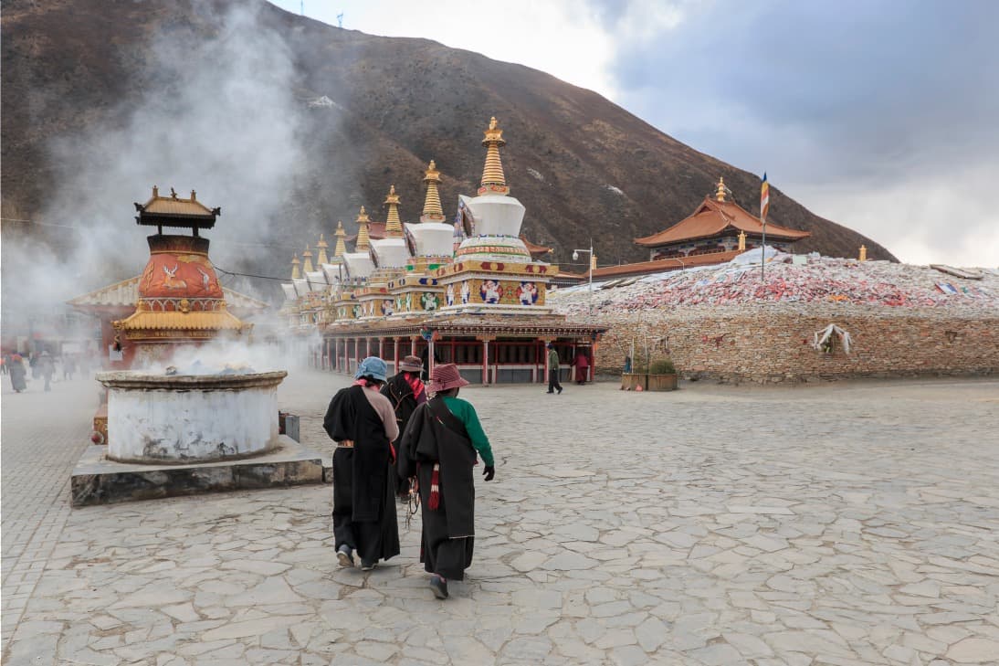
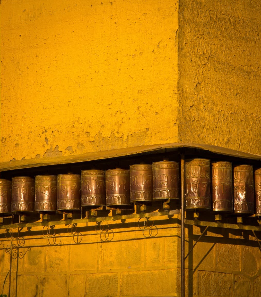
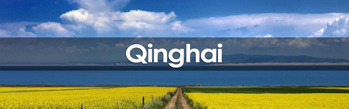
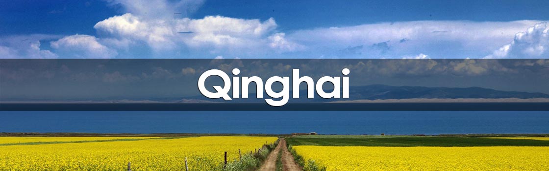
Qinghai is the fourth largest province in Chine. Located on the northeastern border of Tibet, the region takes its name from Chine's largest saltwater lake, Qinghai Lake. Still little known to tourists, it nevertheless attracts adventurers eager to escape the hustle and bustle of major cities and find themselves face to face with striking landscapes mingling mountains, vast expanses, lakes and nomadic life. Qinghai is also home to numerous ethnic groups, each bringing their own culture and traditions, hence the significant number of Tibetan monasteries.
History
The northern Silk Road crossed what is today Qinghai province. In 121 BC, the Han Dynasty established a military base near Xining to counter Tibetan raids on merchant caravans.
During the Yarlung Dynasty, a period of great expansion of Tibetan power and influence, Qinghai came directly under the control of Lhassa. After the dynasty's collapse in 842 AD, local rulers filled the power vacuum that followed, with some acting as vassals of the Song Dynasty emperors.
In the 13th century, all of Qinghai was engulfed by the Yuan Empire under Genghis Khan. During this time, the Tu people began to migrate to the area around Huzhu, followed a century or two later by the Salar Muslims of Xunhua.
After the fall of the Yuan Dynasty, local Mongol rulers and the Dalai Lama in Lhassa struggled for power. The Qing emperors then regained control of the region, turning it once again into a prefecture with roughly the same boundaries as today. As in the past, administrative control remained in the hands of local elites.
Qinghai officially became a province of Chine in 1929 during the Republican era, although at that time it was under the control of the Muslim Ma clan. Qinghai became a province again in 1949 with the establishment of the People's Republic of Chine.
In the late 1950s, an area near Qinghai Lake became the center of Chine's nuclear weapons research program. Over the following 40 years, at least 30 tests were conducted at a secret base, the Qinghai Mine.
In April 2010, Yushu, a Tibetan city in the southwest of Qinghai, was devastated by a 7.1 magnitude earthquake. Thousands of people died, with some estimates suggesting tens of thousands of lives were lost in the tragedy.
Qinghai Today
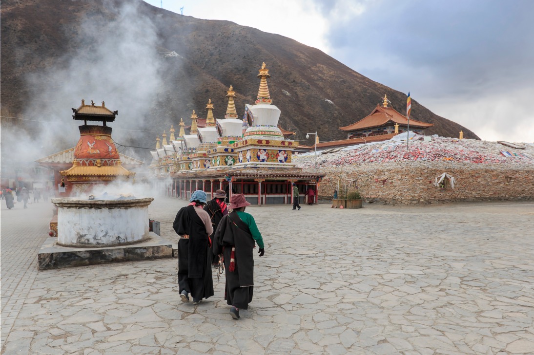
The province of Qinghai occupies the northeastern part of the Qinghai-Tibet Plateau in northwestern Chine. It was long part of the Tibetan province of Amdo before Beijing separated it with a simple line on a map. Qinghai nevertheless retains strong Tibetan influence and is home to numerous Tibetan monasteries.
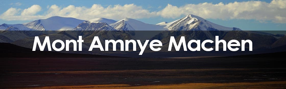
Little known to travelers, the province is often identified by its labor camps and nuclear bases, offering very limited tourist interest. Yet Qinghai is a vast territory endowed with spectacular landscapes featuring lakes, mountains and endless steppes. Qinghai is home to one of Tibet's most sacred mountains, Amny Machen, as well as the source of three of Asia's mightiest rivers: the Yellow River, the Yangtze and the Mekong.
Mongolian influence is also quite present here. You will see herds of yaks numbering in the hundreds left to roam in vast grasslands and can venture to meet nomadic yurt camps perched on high-altitude plateaus.
Qinghai enjoys a mosaic of ethnic groups including Tibetans, Mongols, Salars and Hui, each bringing their beliefs and customs in perfect harmony.
For travelers, Qinghai opens the doors to an ancient Chine where economic progress has yet to reach this part of the country. Qinghai ranks third nationally in poverty, and life here remains very rural and underdeveloped. Travel conditions are quite harsh and inconvenient, especially regarding transportation. Nevertheless, with a bit of courage it is possible to discover remote spectacular places, make unforgettable encounters and immerse yourself in nomadic life and the province's cosmopolitan culture.
Those who travel through Qinghai will emerge enriched with unforgettable experiences.
Climate
The province's altitude is the determining factor of its climate. North and south, east and west, cold and aridity are the dominant climatic factors. However, sunshine is abundant and can even be harsh.
This plateau continental climate offers the province long sunny days, clear, very cold nights and minimal precipitation.
Temperatures can range between 36°C and 18°C. It is essential to prepare and always bring protection from the sun or cold.
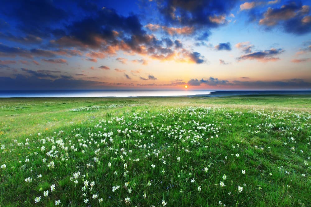
Summer (June to September) is the best time to visit the province. The grasslands are in bloom, mountains and blue sky reflect in the lakes, creating landscapes of striking beauty.
How to Get to Qinghai
Qinghai is served by rail networks from the neighboring city of Lanzhou or by the controversial new line that extends to Lhassa.
How to Get Around Qinghai
Qinghai stretches across a vast territory, so you should budget many hours of bus or train travel to cover part of it. Favor overnight journeys with sleeper buses of varying comfort levels.
Bus is the best way to travel around Qinghai, as they serve most of the region.
Language
The majority of the population speaks a dialect of northwestern Chine, similar to Gansuhua. Tibetans speak Amdo or Kham dialects (near Sichuan).
What to Do in Qinghai?
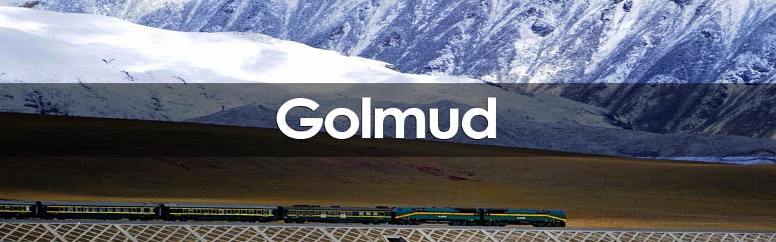
- Cross the Tibetan plateau by train from Golmud to Lhassa.
- Purchase a Thangka, a Tibetan painting by a local artist in Tongren.
- Marvel at the beauty of Qinghai Lake, Chine's largest saltwater lake.
- Walk in the footsteps of Tibetan pilgrims at Amnye Machen Mountain.
- Join pilgrims and monks at the Kumbum Monastery.